Land movement
Flag erosion and subsidence signals around assets and corridors.
Asset Risk Agent
Emerging domain
Roads, rail, bridges and corridors are exposed to erosion, subsidence, flood and vegetation. Cropin’s role is to make that changing environment observable.
What infrastructure intelligence can answer
Each capability draws from a shared verified foundation, then adapts to the asset, geography and operating decision.
Flag erosion and subsidence signals around assets and corridors.
Monitor water and weather conditions that may change access or risk.
Identify encroachment and changing vegetation around linear assets.
Rank assets for review using physical exposure and change signals.
Scope discipline
Cropin supplies the land-and-climate risk layer, not structural engineering, inspections or asset SCADA.
01 / IN PRACTICE
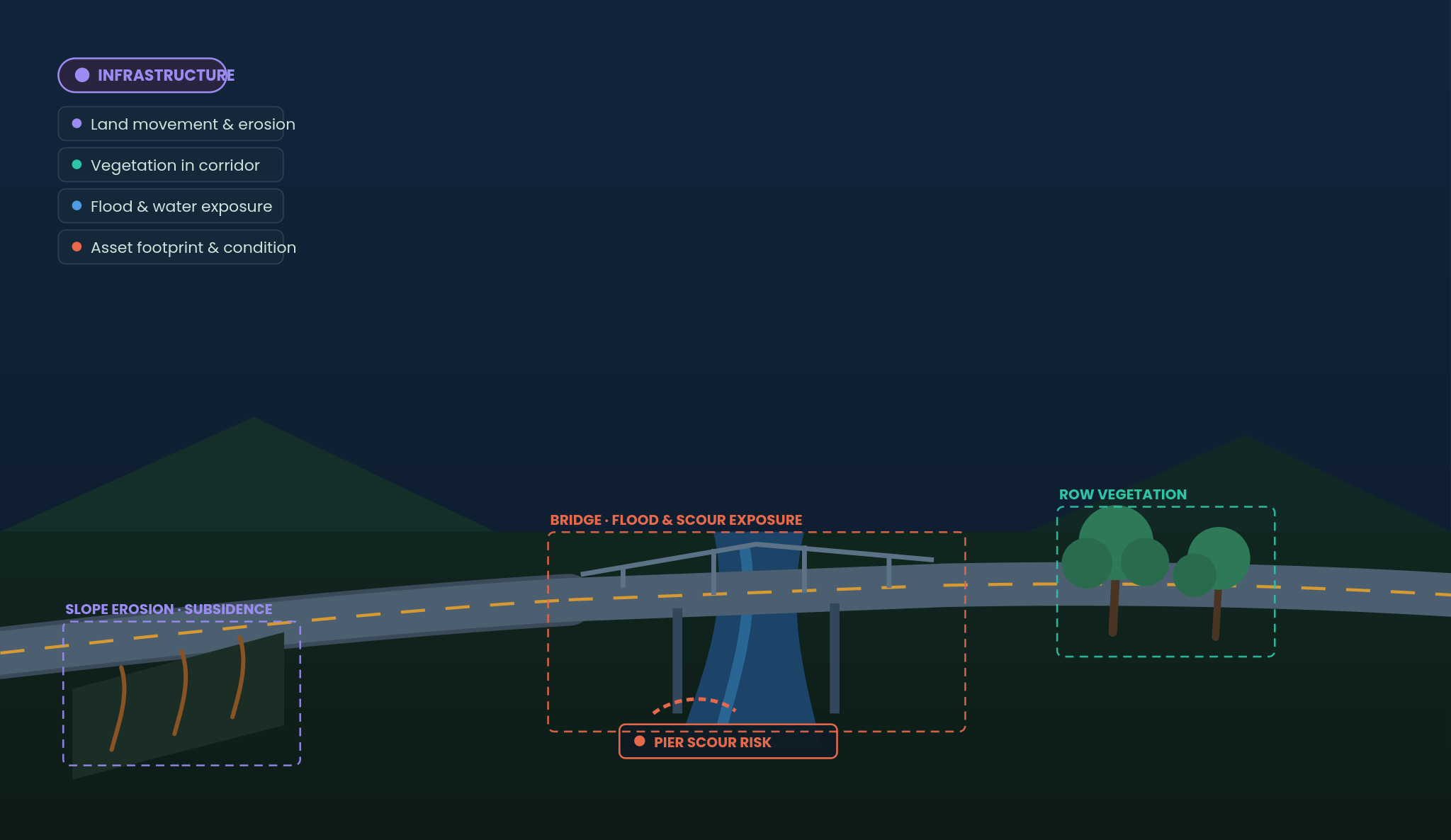
Monitor erosion, subsidence, flood exposure, bridge-scour conditions and vegetation across road, rail and utility corridors so maintenance teams can investigate the locations showing physical change.
Land movement and erosion
Vegetation in corridors
Flood and water exposure
Asset footprint and condition
Cropin supplies the land, vegetation, water and climate risk layer around infrastructure. Structural engineering assessments, embedded sensors and asset SCADA remain outside scope.