
Deforestation compliance
Trace land-use change around sourcing areas and regulated supply chains.
Landscape intelligence
Detect deforestation, degradation, agricultural burn events and wildfire exposure while building evidence for compliance, carbon and public action.
Commercial decisions
Built for forestry companies, commodity buyers, utilities, carbon developers, governments, insurers and conservation programs.
Trace land-use change around sourcing areas and regulated supply chains.
Detect burn events and combine vegetation, fuel moisture, heat and weather signals to assess exposure.
Maintain time-series evidence for baselines, emissions, permanence and monitoring.
Proven fire-detection work
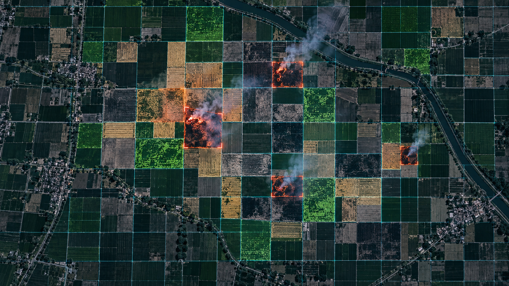
Cropin worked with a reputed global consulting firm on a plot-level crop-residue management study in Karnal district, using multi-temporal satellite imagery and machine learning.
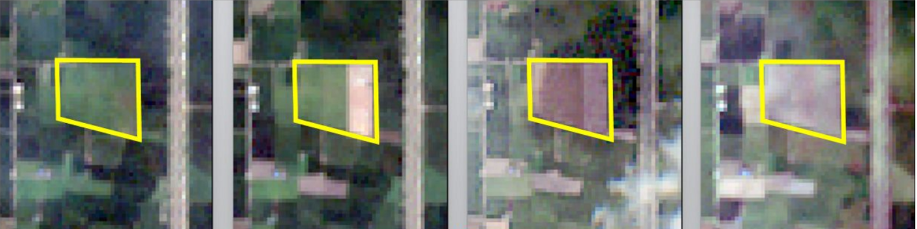
Representative plot evidence
An anonymized field from the Karnal study shows how successive observations created a verifiable timeline around a reported burn event. Exact coordinates and farmer identifiers are withheld.
Public methodology
Cropin combined repeat satellite observations, field-boundary analysis, temporal change detection, independent event signals and validation data to distinguish crop condition, residue, bare soil and burnt scars. Proprietary features, thresholds, model logic and scoring methods remain confidential.
Why it matters
The framework located burn events, measured cumulative burnt area and estimated potential CO₂ emissions using an IPCC-aligned method, creating a basis for advisory, enforcement, carbon programs and landscape-fire monitoring.
AGGREGATE PUBLIC PROOF ONLY · CUSTOMER, CONSULTING FIRM AND FARMER IDENTITIES ANONYMIZED · RESULTS ARE SPECIFIC TO THE STUDY WINDOW, INPUT GEOMETRIES AND AVAILABLE GROUND DATA
From stubble burning to wider fire intelligence
Agricultural residue burning, forest wildfire and utility ignition risk have different causes. Cropin’s reusable layer is the ability to monitor vegetation and land condition, detect change, quantify affected area and route evidence into the appropriate operational workflow.
Start with a landscape or corridor