
Production visibility
Monitor acreage, crop stage and crop condition.
Crop intelligence
Digitize maize cultivation with satellite monitoring, crop health insights, and harvest forecasting. Enhance operational efficiency and mitigate climate-related risks.
Crop-specific intelligence
Connect plot observations, Earth observation, weather and crop-specific models to production, sourcing and risk workflows.
Monitor acreage, crop stage and crop condition.
Prioritize fields using water, weather and crop-health signals.
Estimate timing and likely production windows.
Connect expected harvests to procurement and processing needs.
01 / CROP INTELLIGENCE
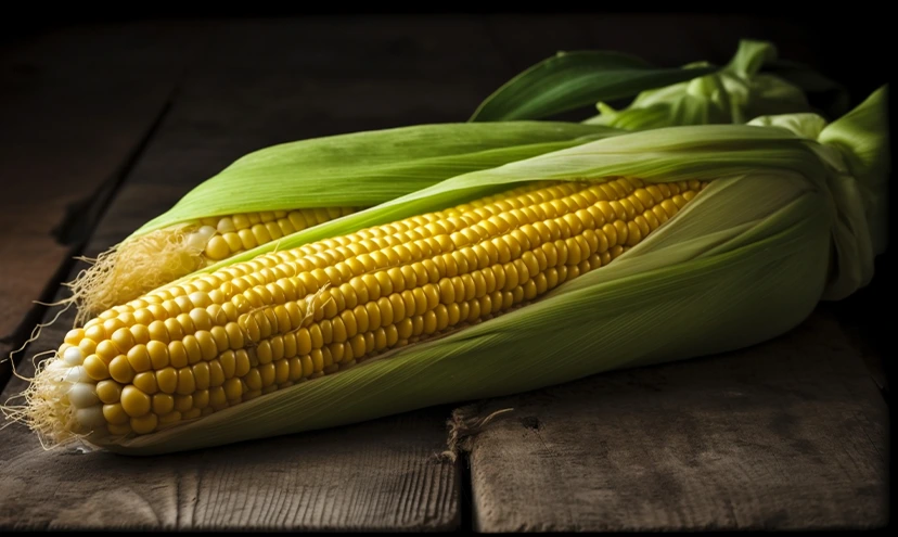
From sweet corn for human consumption to dent corn for livestock feed and industrial products, maize is incredibly versatile, with thousands of varieties adapted to diverse climates and uses.
Hybrid · depth · soil
Stand · vigor · weather
Canopy · nitrogen · water
Timing · heat · pollen
Stress · kernel set
Fill · moisture · health
Dry-down · quality
Moisture · yield · logistics
Cropin combines crop-specific knowledge with verified field observations, Earth observation, weather and enterprise data.
02 / CROP INTELLIGENCE
Maize cultivation is highly susceptible to climate change impacts, including drought, heat stress, and erratic rainfall, which severely affect yields. It also faces significant threats from pests & diseases.
03 / CROP INTELLIGENCE
The same operating loop supports growers, agronomists, sourcing teams, processors and enterprise leaders.
Field activity, satellite, weather, climate and enterprise data.
The corn crop: variety, stage, geography and agronomic context.
Crop progression, stress, disease, yield and harvest readiness.
Prioritized advisories, field workflows, sourcing and supply decisions.
Ask what changed, investigate the evidence and decide what happens next.
Experience OrbitAI ↗04 / CROP INTELLIGENCE
Crop-specific intelligence is validated through operating programs, not isolated demonstrations.
Acres digitized by Cropin
05 / CROP INTELLIGENCE
Maize is the most produced cereal crop in the world in terms of total annual production volume, which exceeds 1 billion tonnes yearly.
06 / CROP INTELLIGENCE
Explore how the same verified foundation adapts to different crop biology, risks and enterprise decisions.
These are selected examples from Cropin’s broader crop intelligence library.
07 / CROP INTELLIGENCE
Go deeper into the operating practices, technology and customer outcomes behind the crop intelligence.
Unlock smarter crop cultivation with Cropin. Make your food production, sourcing, and supply predictable, profitable, and sustainable.
Conquering the Maize Maze of Kenya: Overcoming Challenges and Seizing Opportunities in a Climate-Impacted World...
Read more CASE STUDYExplore the digital revolution AGRA is bringing to Africa with Cropin - empowering farmers in their battle against unpredictable...
Read more CASE STUDYOne of the leading agri-input companies in India partnered with CropIn to monitor maize acreage and digitized over 500,000...
Read more08 / CROP INTELLIGENCE
Cropin uses AI-powered satellite imagery and geospatial analytics to monitor maize farms remotely. The system analyzes vegetation indices and crop intelligence signals to track crop stage progression, canopy health, crop vigor, and field variability. This allows stakeholders to detect early signs of crop stress, uneven growth, and potential disease risks without requiring physical field inspections.
Cropin’s AI models integrate weather data, satellite data, and predictive analytics to monitor environmental conditions that affect maize crops. By analyzing temperature trends, rainfall patterns, and moisture indicators, the system can identify early signs of drought stress, heat stress, or the risk of excessive rainfall. These insights enable farmers and agribusinesses to adjust irrigation, crop protection, and farm operations to minimize climate-related crop losses. Cropin’s granular insights empower development agencies, policymakers, and governments in Holistic Policy Formulation, Budget & Resource Allocation, and Partnerships.
Cropin’s Disease Early Warning System (DEWS) model overlays weather data, historical data, and crop conditions to identify risks for several maize diseases, including: Alternaria leaf blight, Leaf rust, Anthracnose, and Bacterial leaf spot. By predicting the probability of disease risk before visible symptoms spread, the system helps farmers take timely crop protection measures.
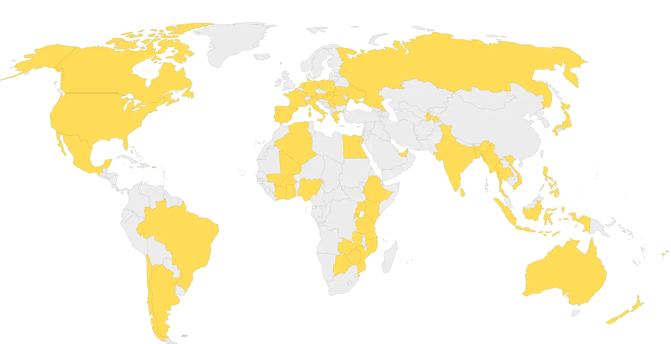
Cropin has deployed its maize crop intelligence solutions across multiple major maize-producing regions worldwide, supporting agribusinesses, processors, and food companies with farm monitoring and predictive insights. These deployments cover thousands of farms and large cultivation areas, enabling data-driven management of maize supply chains across continents.
Cropin estimates the optimal harvest window by analyzing satellite imagery, proprietary crop knowledge grid, crop growth models, and weather forecasts. The system evaluates factors such as crop maturity stage, moisture levels, temperature trends, and expected weather conditions. By combining these variables, the platform predicts the most suitable time for harvest to maximize grain quality and minimize post-harvest losses.
Advanced yield estimates generated by Cropin’s predictive models provide early visibility into expected maize production. Agribusinesses and processors use these insights to plan procurement strategies, manage storage capacity, optimize logistics, and forecast supply for downstream operations such as feed production, food processing, and biofuel manufacturing.
Yes. Cropin analyzes climate patterns, soil conditions, and historical crop data to identify regions suitable for potato cultivation. In real-world deployments, the platform has helped organizations discover high-potential growing areas and expand cultivation zones to secure a consistent potato supply.
Yes. By tracking regenerative practices like “No-Till” farming and cover cropping, Cropin provides the data foundation needed to quantify carbon sequestration. This enables corn farmers to participate in carbon credit programs and helps CPG companies meet their “Net Zero” commitments.